Then and Now: Bois de Consenvoye and Richene Hill–Part 2

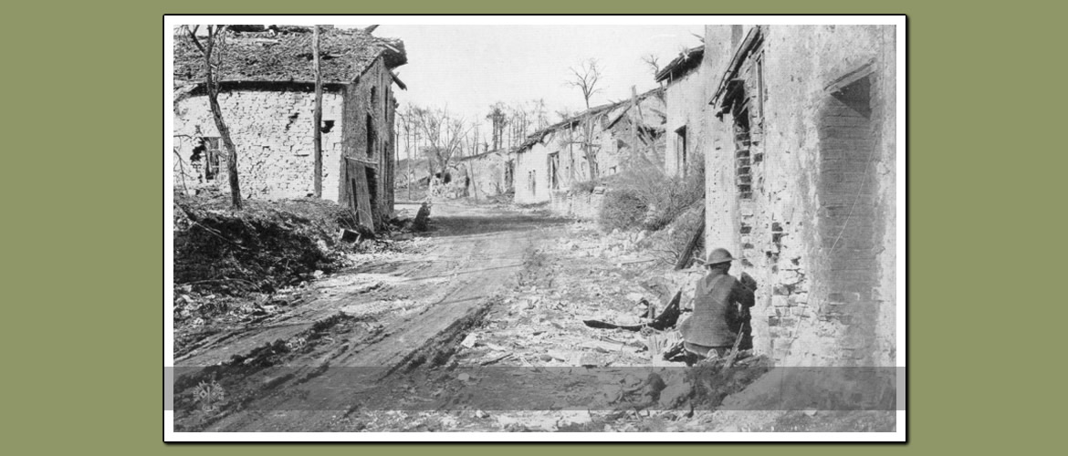
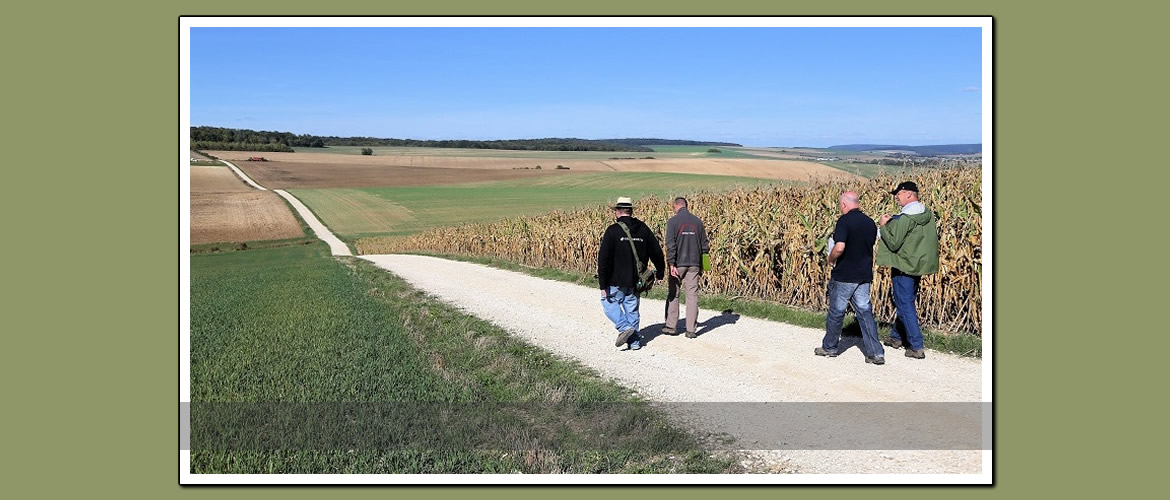
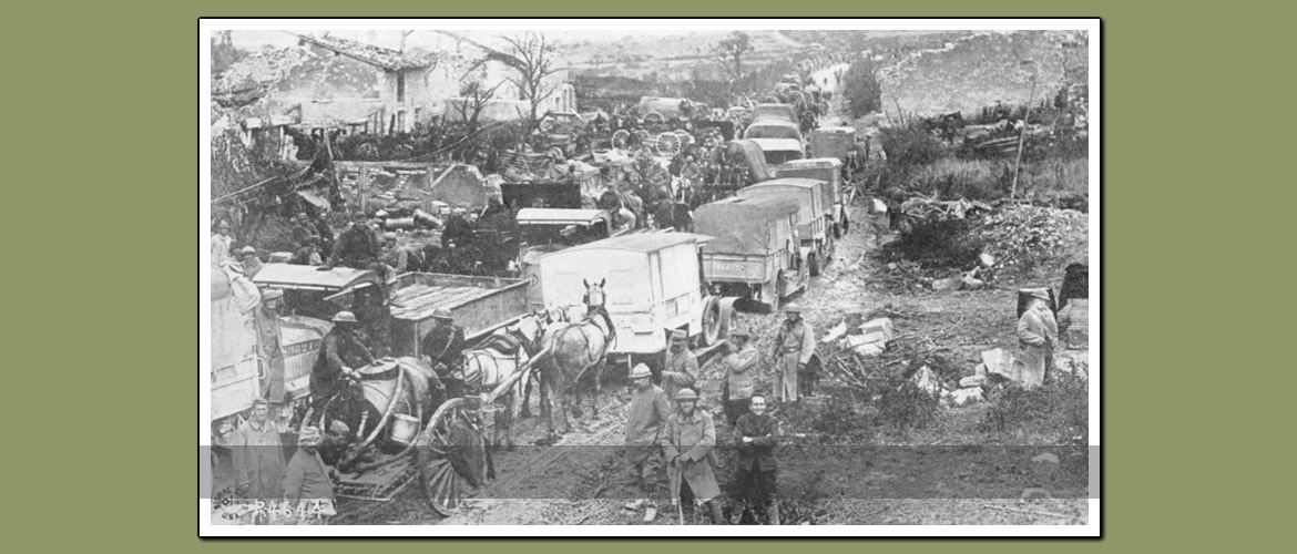
Webmaster’s Note:  This is part to of the “Then and Now” blogpost focusing on Griffin Group photos in the Bois de Consenvoye and on Richêne Hill.  Readers are encourage to view Part 1, which appeared yesterday.  For reader’s convenience, the ABMC Summary of Operations map has been repeated below.         Caption:  Griffin Group Photo A.M. 162.  American Dead.  325.2 – 280.4.  8 January, 1919. Location:  Looking at the above map, the “then” photo was taken along the tree line just East of Continue reading →

Then and Now: Bois de Consenvoye and Richene Hill–Part 1

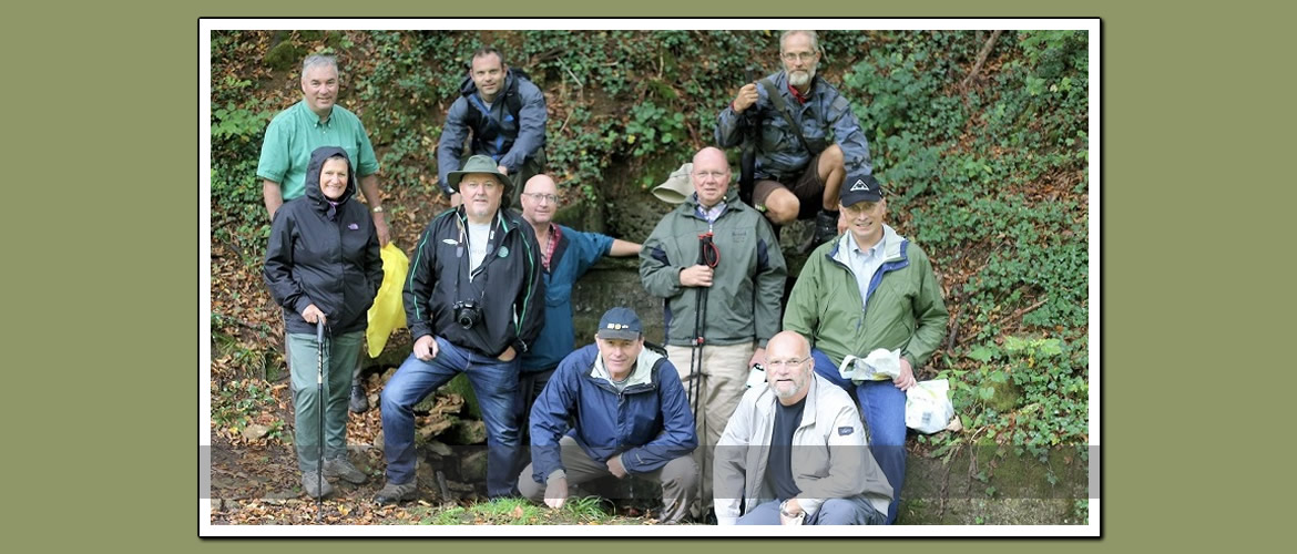
Webmaster’s notes:  This two-part then and now report will focus on Griffin Group photos in the Bois de Consenvoye and on Richêne Hill–excluding Molleville Ferme.  More details on the Griffin Group photos can be found in this 30 April, 2017 post:  http://meuseargonnerg.wpengine.com/?p=2179.     Readers are also reminded that the offensive East of the Meuse was begun on 8 October, almost two weeks after the main offensive, in order to “neutralize” the enemy artillery that was shelling AEF positions West of the Meuse River.  The Continue reading →

Then and Now: Observation Balloon on Road Between Bantheville and Remonville

    Caption:  Road Between Bantheville and Rémonville, November 1918.   Location:  The bend in the road where the D12 and D15 intersect.  Looking south.  This ground was taken during the November 1 advance; and it is right at the divisional boundary between the 89th and 90th Divisions, AEF.   Source of Then Photo:  American Armies and Battlefields in Europe.  Page 279.   Source of Not Photo:  Webmaster, with the help of Sjoerd van der Ven.      

Then and Now: Samogneux

    Caption:  Samogneux is on the D964 at the edge of the Verdun battlefield East of the Meuse.  In 1918, any of the American divisions (33rd, 29th and 79th) fighting East of the Meuse would have passed through it.  Unfortunately, trees block the view of the canal and river in the now photo.  However, the horizon matches up well.   The now photo is taken from in front of the statue in the town cemetery.  The cemetery is on a slight hill, which mirrors Continue reading →

Then and Now: German Airplane Crash Outside of St. Georges

Location of Then Photo:  A farm field southwest of St. Georges.  (Part of Landres-et-St. Georges.) Details at Bottom of Photo:  Argonne – Meuse #191.  299.7 – 268.2.  (Longitude – latitude)  German Plane.  Arrow indicates photo taken facing north.  Dated 23 February, 1919. Note:  The Webmaster would love to get more details on the type of aircraft, pilot, date of action, etc. Source of Then Photo:  Griffin Group Photos, National Archives, College Park, MD.  Record Group 120G.     Note:  It is impossible to pinpoint the Continue reading →

Then and Now: Dressing Station in Marcq

    Caption:  Figure 76–Dressing station operated by Ambulance Company No. 311, 78th Division, at Marcq, Ardennes, October 17, 1918.  Note that one can see two medical (i.e. red cross) flags in the then photo.   “On Oct. 10 the 78th Division moved into the Argonne Forest west of Montblainville in reserve of the I Corps.  On October 16 the division relieved the 77th Division in a sector along the Aire River from St. Juvin to Grand-Pré.”  (78th Division:  Summary of Operations in the World Continue reading →

Then and Now: Neuvilly-en-Argonne

    Caption:  Caption of the then photo reads:  “Men of the 111th Infantry Coming out of the Line.  In the background are Red Cross and Salvation Army huts, at Neuville, October 19, 1918.” Additional then and now photos of Salvation Army activity in Neuvilly can be found in the following post:  http://meuseargonnerg.wpengine.com/?p=655   Location:  Neuvilly-en-Argonne.  (Note the misspelling in the photo caption.)  The church is right on the D946 which runs through town.  On the two sign-posts one can also read the direction to Continue reading →

Then and Now: Montfaucon under German Occupation

Authors/researchers and editors/publishers don’t always share the same objectives.  More often than not, photographs, maps, tables, etc. get edited out of books for reasons of length, readability, etc.  The webmaster felt this when reading William Travis Walker Jr.’s well-researched “Betray at Little Gibraltar:  A German Fortress, a Treacherous American General, and the Battle to End World War I.”  Mr. Walker’s description of the German positions in and around Montfaucon was largely verbal, with a limited number of photos and no war-time map. As one would Continue reading →

Then and Now: Field Hospitals Between Cuisy and Septsarges

    Caption:  Fig. 73–View from Cuisy across the valley toward Septsarges, showing Field Hospitals No. 19 and No. 21.   Location:  The photo is taken from the home / farm complex on the Northeast side of Cuisy.  The road in the foreground–which is the best way to match up the pictures–is the D19a (Route de Montfaucon).  Note that there appears to be no farmhouse (or farmhouse remains) on the right side of the road in the then photo.  The road running along the hilltop is the Continue reading →

Then and Now: Aid Station in Cunel

    Caption:  The then photo is captioned:  “Figure 82–Aid station, 358th Infantry, at Cunel, Meuse, October 27, 1918.”  The 358th was part of the 90th Division, which entered the line in mid-October and continued the push northward. Note also in the then photo the sign “Ortskommandantur” above the door.  On period military translation dictionary translates it as Town Major’s Office.   Location:  6 Rue de la Fontaine, which is the D123, the main street running through town.  It is very easy to locate.   Continue reading →